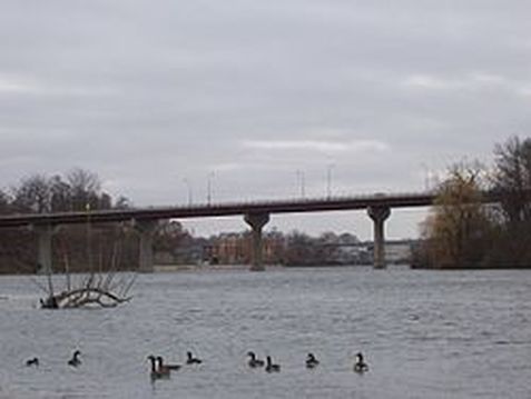
The Highway 47 bridge over the Fox River in metro Appleton. Image: https://commons.wikimedia.org/wiki/File:WIS47BridgeOverFoxRiver.jpg
Key challenges to the Pike-Root watershed
|
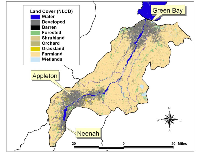
The Lower Fox Watershed covers 638 square miles in Wisconsin. It encompasses Brown, Calumet, Outagamie, and Winnebago Counties. The Lower Fox River originates at the outlet of the Lake Winnebago and flows northeast for 39 miles where it empties into the bay of Green Bay.
Unique Features of the Watershed
Significant Natural Features
Lake Michigan is the source of drinking water for the majority of the population in these counties. Community water utilities treat and distribute Lake Michigan water. These utilities report no contaminant levels exceeding US EPA quality standards. 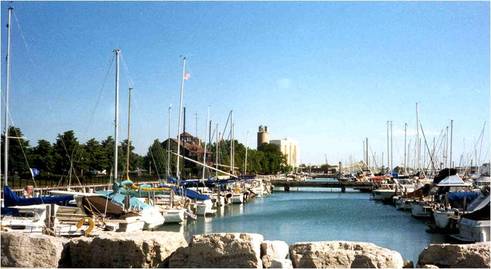
Waukegan Harbor
|
Needed Actions
|
Read More
|
|
Wisconsin DNR Overview
USEPA Watershed Central wiki Watershed Plans Pike and Root River Watersheds Pike River Watershed Plan Root River Watershed Plan Wind Point Watershed Plan Oak Creek Watershed Plan Waukegan River Watershed Plan Kellogg Creek Watershed Plan Dead River Watershed Plan Great Lakes Restoration Initiative |